Way of Saint Benedict: from Norcia to Montecassino - Cammini d'Umbria

Saint Benedict’s Way
Three hundred kilometres in the heart of Italy, between Umbria and Lazio up to the border with Campania: this is the Saint Benedict's Path, an itinerary of sixteen stages to retrace the life of the Patron Saint of Europe.
Saint Benedict’s Way
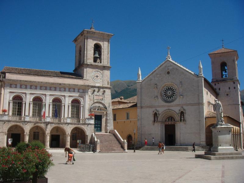
Three hundred kilometres in the heart of Italy, between Umbria and Latium up to the Campania border: this is the Saint Benedict's Path, an itinerary of sixteen stages to retrace the life of the Patron Saint of Europe, through paths, cart tracks and low-traffic roads, among the valleys and mountains of central Italy. The route links the three most important Benedictine places: Norcia, the birthplace of the Saint; Subiaco, where he lived for more than thirty years and founded numerous monasteries; and Montecassino, where he spent the last part of his life and wrote the Rule.
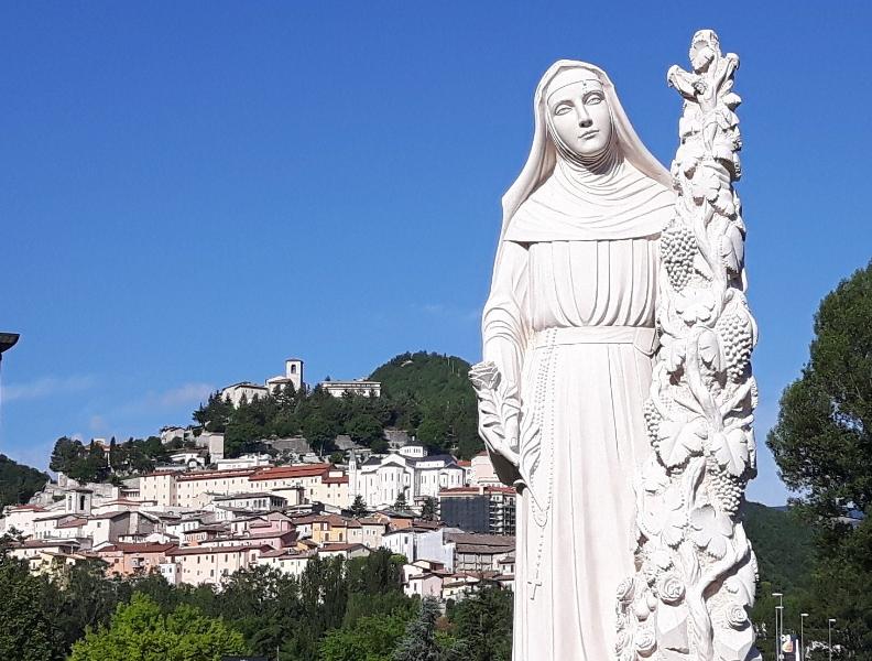
The Umbrian stages make up the first three of the route, which starts in Norcia, a wonderful town on the slopes of the Sibillini mountains, and then continues on to Cascia, where Saint Rita, the 'Saint of the Impossible', lived: here, for a stretch, the Saint Benedict's Way merges with the Saint Rita's Path, a magnificent route through the woods, partly carved into the rock, which partly goes up the Corno river. From here, through a rustic landscape of rare beauty, we move in the direction of Monteleone di Spoleto, a fascinating medieval village included among the most beautiful villages in Italy, to arrive in Lazio, in Leonessa, at the foot of the Reatini mountains.
VIEW DETAILS ON KOMOOT
-
Unpaved road : 65%
-
Asphalt : 35%
The route begins in Norcia, on the slopes of the Sibillini Mountains, and then continues, towards Cascia, where Saint Rita, known as the “Saint of the impossible,” lived.
The first stage of the route does not present any particular difficulties. It starts in Norcia, on the slopes of the Sibillini Mountains, and after crossing the Santa Scolastica plain, the path climbs gradually over the mountains that separate Norcia from Cascia, before descending into Cascia.
-
Dirt road : 78%
-
Asphalt : 22%
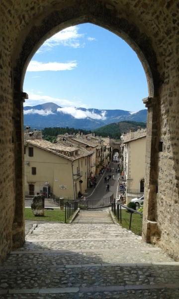
The second stage is simple and with beautiful views. From Cascia we take the Santa Rita Trail, a magnificent path through the woods, partly carved into the rock, that goes up a stretch of the Corno river. Having reached Roccaporena, we recommend a stop to visit the saint's places, and a short ascent to the Sacro Scoglio. We then follow a lovely high-altitude cart track; finally, through a rural landscape of rare beauty, we reach the charming medieval town of Monteleone di Spoleto.
-
Dirt road : 68%
-
Asphalt : 32%
A short and very easy stage, almost all on level ground. We pass through small villages and rural hamlets, crossing marvellous pastures with cows and horses in a semi-freedom state, in a highly scenic route that always has the Reatini mountains in front of it.
Elevation gain
+ 1140m | - 780m
Distance
47,5 km
Duration
13 h 41 m