English
  Français
  Italiano
  Español
  Português
  Deutsch
Via di Francesco - St Francis' Way - Roman Way from La Verna to Roma
Stage 20 - from Ponticelli di Scandriglia to Monterotondo
From Ponticelli to Monterotondo, from the hills to the Tiber River valley.
A long hike with plenty of ascents and descents until you reach Monterotondo. Along the way you’ll pass such characteristic places as Acquaviva and Montelibretti, and the lovely natural reserve known as the Macchia di Gattaceca.From
Ponticelli di Scandriglia
To
Monterotondo
Distance
28,885 Km
Increase in altitude
+ 750
Loss of altitude
- 940
Surface
path-tarmac-dirt road
Road Sign
yes
Travel time
9 hours
Water sources
yes
Resting areas
yes
Degree of difficulty
challenging
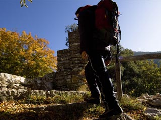
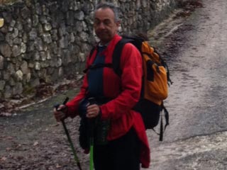
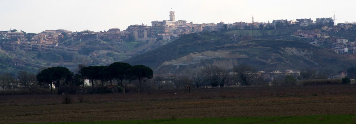
Start by going downhill from the centre of Ponticelli, a trail that alternates between paved and dirt roads surrounded by a landscape of olive groves and oak trees until you reach Poggio Corese. To the left you’ll spot Castello Orsini in the town of Nerola. At some places the route crosses paths with the old Via Salaria. When you reach Acquaviva you can eat and drink something refreshing in the town centre. The trail takes you down into the valley and then up again to the town of Montelibretti, home to the lovely Palazzo Barberini. The landscape is graced by olive groves, large orchards and fertile fields of crops. You will find the Via Vecchia Nomentana, another old Consular road built by the Romans. There are ascents and descents, so walk at a slow and even pace. In the distance the XIII century Torre della Fiora reaches into the sky, this is the Roman countryside, and you almost forget how near Rome really is. You pass through the Macchia di Gattaceca natural reserve and the scenery changes again, now featuring fields of wheat and pasturelands until you reach the centre of Monterotondo, an old feudal holding of the noble Barberini family.
What you should know before departure
Sources
For water supply along the path there are bars and water springs: Poggio Corese, Acquaviva di Nerola, Montelibretti and Monterotondo. Remember to fill your water bottle with at least 1.5 litres of water in the summer.
For water supply along the path there are bars and water springs: Poggio Corese, Acquaviva di Nerola, Montelibretti and Monterotondo. Remember to fill your water bottle with at least 1.5 litres of water in the summer.
Intermediate stages
There are resting areas where you can stop and take a regenerative break or find accommodation and shorten this leg of the journey: Poggio Corese, Acquaviva di Nerola, Montelibretti and Monterotondo.
There are resting areas where you can stop and take a regenerative break or find accommodation and shorten this leg of the journey: Poggio Corese, Acquaviva di Nerola, Montelibretti and Monterotondo.
Suggestions
We recommend that you have the maps of the trail with you. Simplified maps can be downloaded by clicking on the online map. Remember to always have a small supply of food with you (fruit, dried fruit, chocolate, energy bars, something energy-giving in general).
We recommend that you have the maps of the trail with you. Simplified maps can be downloaded by clicking on the online map. Remember to always have a small supply of food with you (fruit, dried fruit, chocolate, energy bars, something energy-giving in general).
Information (e.g. how to get there using public transport)
Info Tourism Monterotondo
Ufficio Turistico del Cammino di Francesco
Phone: 0746 264106/8/0
Email: This email address is being protected from spambots. You need JavaScript enabled to view it. This email address is being protected from spambots. You need JavaScript enabled to view it.
Site: www.camminodifrancesco.it
Roman Way - Walking stages